
From online shopping delivery to farm surveillance, drone technology has been a new frontier for companies looking to advance their business through unmanned aerial vehicle (UAV) technology.
However, getting permission to operate these drones was almost impossible without a private pilot’s license or a waiver – until now.
The drone operation approval process got easier as of Monday. The Federal Aviation Administration (FAA) announced in late June the first operation rules for commercial use of unmanned aircraft systems, also known as drones.
With the new rules, approval to fly drones will be like getting a driver’s license.
“When we first started the process I was an aircraft manufacturer, so I had to get my design approved by the FAA,” Thomas Davis, president and CEO of Drone for Hire LLC in Modesto, said. “That took several years.”
Drone for Hire specializes in research, design, and commercial applications of drones. They work with agriculturalists, industry leaders, and others. One of the services they provide is aerial mapping.
Davis said he began drone project development in 2011 and received his license to operate commercially in June 2015. He was the 665th person in the country to be granted a license exemption. Now, over 5,000 licenses have been given out.
Prior to the new rules, people were on a waiting list for up to 20 years to get approved, according to Davis.
Drone For Hire LLC is one of the four legal drone startups in California.
Y-6 Scout going to work. Almond Blossom season 2016 from Drone For Hire on Vimeo.
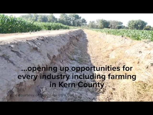
Kern County is the 4th largest agricultural producing county in the U.S., according to the Greater Bakersfield Chamber of Commerce.
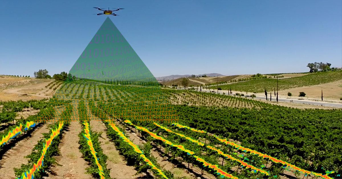
A visualization of how aerial mapping works. Graphic credit: aerdron
According to Davis, 90 percent of farms don’t have the necessary equipment to do adequate aerial data collection for farms.
“A lot of people are offering services but none of those services are designed to meet the farmers’ needs,” Davis said.
This stemmed from two problems: the disconnect between data processing software and drones and strict FAA rules.
Since the rules have changed, the software development is the only barrier. This is something the Department of Engineering and Physics at California State University Bakersfield is working on.
"Once these actually get implanted and put into use, we're going to be saving on not only a lot of man hours,” CSUB student Garrett Croney said. “But it’s going to be very helpful to our environment because we're not using gas powered vehicles and an airplane to fly over and give us a picture of something that we can do with a simple remote control."

Croney is part of a group of students at CSUB researching drone implementation in agriculture.
According to industry estimates, the new FAA rule could create more than 100,000 new jobs over the next 10 years and generate more than $82 billion for the U.S. economy, the FAA stated in a press release.
CSUB received a $270,000 grant from the U.S. Department of Agriculture to work on agricultural engineering, including UAV research.
"Our main goal is to create a low cost system and very friendly easy-to-use system so any farmer can get one of them and use it on a daily basis,” CSUB associate professor Yiannis Ampatzidis said.

Ampatzidis’ team of students is working on developing different algorithms, using different sensors, and more to help farmers make timely decisions. The main issue they have run into with development is that they aren’t legally allowed to fly drones.
"It's an ever developing field,” Croney said. "This may be the next great thing in surveying aerially."
The FAA opened an online portal to apply for drone operation waivers.

