

Happy Monday, Kern County. This weekend's storm brought lots of rain to Kern, as you know, and Bakersfield actually had a record-breaking day on Saturday.
On Saturday alone, Bakersfield got 1.23" of rain, setting a new daily rainfall record for Nov 15. Between Friday and Saturday, Bakersfield received 1.45" of rain. Some mountain towns received around 3 inches of rain over the weekend.
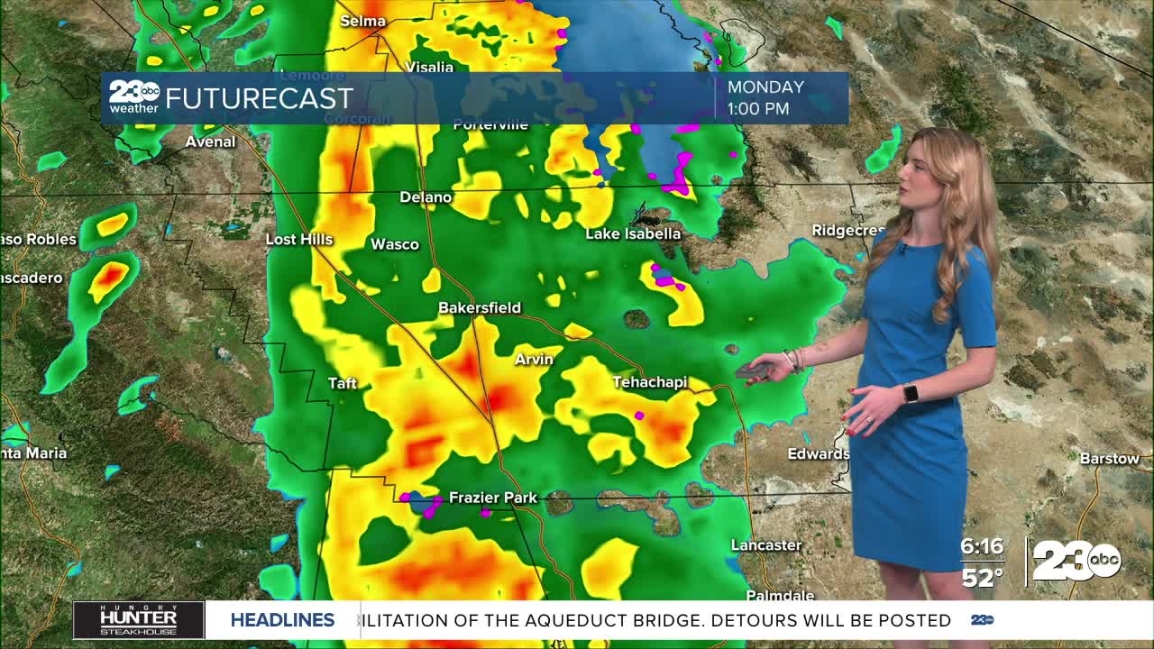
Another storm system is fast approaching Kern County Monday morning. This storm will send additional rain our way on Monday, and scattered showers remain Tuesday. The heaviest push of rain looks to arrive late Monday morning through the afternoon.
Tuesday morning, once we're behind the cold front, snowflakes are possible. Mountain passes could see flurries, but we do not expect snow to stick. However, places above 5,000' elevation could see 1 to 2 inches of snow.
Rain totals between Monday and Tuesday are less than the weekend, but still measurable. The valley could see 0.25-0.5" of rain, up to an inch in the mountains, and 0.33-0.5" in the desert.
The KRV and surrounding Sierra Nevada foothills are under a flood watch until 4 pm Monday. Localized flooding, rockslides and travel impacts are possible due to the additional rain.
Expect gusty winds Monday as the storm moves in, especially in the mountains. Gusts up to 35 mph are possible on Monday.
In the extended forecast, we have another shot at rain on Thursday and Friday, so don't put away the rain coats just yet!
Stay in Touch with Us Anytime, Anywhere: