

Happy Monday, Kern County. We begin this week with the slightly below average temperatures, but a big warm up is approaching.
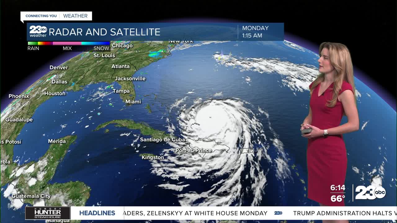
Now we here on the West Coast are not directly impacted by Hurricane Erin, but the northern progression of that storm actually causes a strong high pressure system to retrograde back West. Essentially, Erin's movements force a massive warm airmass to swing back to the west coast; and we're looking ahead to a significant warming trend through the weekend.
As of Monday morning, extreme heat watches are in effect for SLO, LA, and Ventura counties. Kern does not actively have any heat alerts, but there's a chance we will have one issued. We're keeping an eye on that for now, and you can check NWS Hanford for the latest watches and warnings.
Before the heat gets here, we enjoy below-average temperatures for Monday. Bakersfield and Lake Isabella will be in the low-90s, Tehachapi in the low-80s, and upper-90s for most of the desert.
Stay in Touch with Us Anytime, Anywhere:
