

Happy Wednesday, Kern County. Cloudy skies will greet you this morning, though that sun will break through into the afternoon. High temperatures stay a touch warmer than average, near 80 degrees in Bakersfield, but big changes are still on the way.
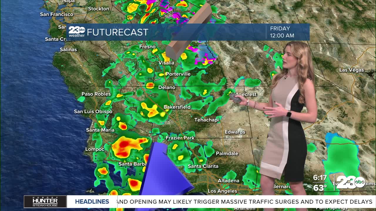
We're tracking a storm system Thursday and Friday. Rain likely to begin Thursday night, and scattered rain and thunderstorms remain into Friday. Depending on the track of the storm into the weekend, we could see more showers Saturday, mainly favoring eastern Kern.
Snow levels for this storm have risen to around 6,500-8,000 feet, and a winter storm warning is in effect for the Sierra Nevada. No snow is expected along Kern's mountain passes.
We expect a good soaking rain for our communities. The valley could see up to 0.75" of rain, and up to an inch is possible in the foothills and mountains. Any communities that see thunderstorms will likely have brief bursts of heavier rainfall.
Finally, strong winds are expected as the cool air arrives. A wind advisory is in effect Thursday for the west side of the valley, including Taft. Then, the Mojave Desert Slopes have a wind advisory through Friday night.
Stay in Touch with Us Anytime, Anywhere: