

Happy Monday, Kern County. We're tracking multiple rain chances this week, plus gusty winds.
We stay dry Monday, so not much to slow you down in the early part of this week.
Into the day Tuesday, you'll first notice strong winds. A high wind watch is in effect Tuesday afternoon through Thursday (Christmas Day). This watch includes all of Kern County, except for the north end of the valley and the KRV. Gusts as high as 60 mph are possible, especially in the south mountains along the Lebec/Frazier Park pass on the I-5.
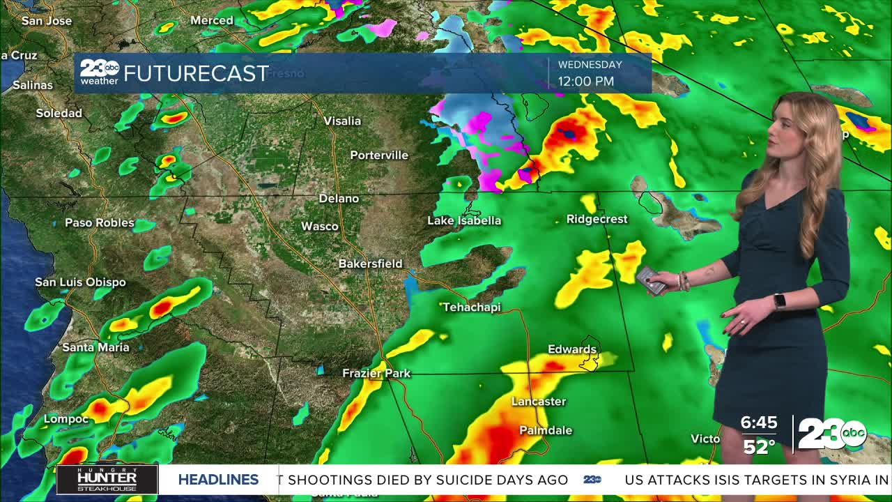
Tuesday night through early Wednesday morning is the first wave of rain showers. You're likely to wake up to rain on Christmas Eve. Wednesday morning, we expect widespread showers, but they become more scattered into the afternoon. There's a chance for heavy showers at times, and with the strong winds, it could make for difficult travel.
Another push of showers is expected Christmas morning. It will be a rainy Christmas for most, though snow is expected above 6,000'. High peaks of Kern and the Sierra Nevada are set to receive up to a foot of snow, though once we get above 8,000', snow totals get heavier.
Nearly all of California is under a flood watch through Friday. Locally, we're watching for flooding in poor drainage areas, the chance for rocks in the canyon, possible mud or rock slides, or flooding in the Borel Burn Scar.
Again, our big focus for the storm is wind and rain. Wednesday through Friday are the big days to watch for rain and potential flooding impacts. As a reminder, 23ABC does not have newscasts on Christmas Eve or Christmas Day, but we will be issuing social media forecasts both days on our Instagram and Facebook pages.
Stay in Touch with Us Anytime, Anywhere: