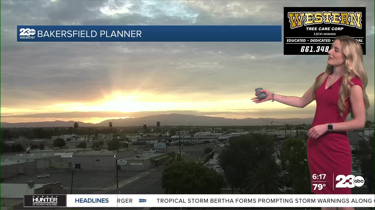


Good morning! Clouds remain in the sky for most of us Tuesday morning, though we do expect clearing later in the afternoon. Gusty winds are expected in eastern Kern County this evening.
Lingering monsoon moisture is likely on Tuesday, mostly in the form of cloudy skies. High elevation towns could see a stray shower, but the chance is low. To the north, the high peaks of the Sierra Nevada have a chance for thunderstorms this afternoon.
Wind gusts 30-35 mph are possible in the mountains today, and locally stronger gusts are possible in the desert.
Heat is a big focus this week, especially for eastern Kern. Once skies clear Tuesday night, we are expected to stay clear and hot for the rest of the week. Thursday through Sunday is the timeline we're watching for the hottest temperatures.
Bakersfield will be between 102 to 104 through the extended forecast, and that is considered moderate heat risk for us here in the valley.
The desert, however, has a stronger warm up ahead. Temperatures near or above 110 are expected Thursday through Sunday in our desert towns, and there is a chance for major heat risk. The National Weather Service has not yet issued any heat alerts locally, but I would not be surprised if they do.
Stay in Touch with Us Anytime, Anywhere: