

Heavy rain is still on track for Saturday.
Moderate to heavy rain will move into Kern County Saturday morning and last into the afternoon, before clearing out Saturday evening.
A few rumbles of thunder are possible as the heavier bands of rain move in, too.
Scattered showers are expected early Sunday on the backside of the system, before skies clear through the day.
Everyone in Kern will see significant rain from this storm, with most spots picking up at least 1".
Rain totals between 1.00" and 2.00" are expected in the Valley and Desert, with 1.50" to 3.00" expected in the mountains and the west side hills.
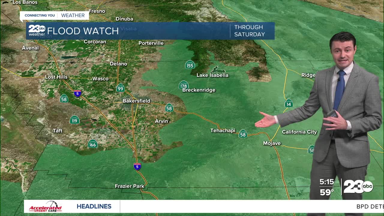
A Flood Watch is in effect for our mountain and desert areas.
Flooding of low-lying and poor drainage areas will be possible.
Mud and rock slides will be possible, too, especially in places like the Kern Canyon where those are common.
Excessive runoff could lead to washed out roadways, and dirt roads may be damaged.
Roadways will be wet all across Kern.
Be sure to drive slow and turn your headlights on when driving Saturday, and make sure your windshield wipers are in good shape before heading out.
Additional rain is expected on Monday as a separate storm moves into Kern.
Stay in Touch with Us Anytime, Anywhere: