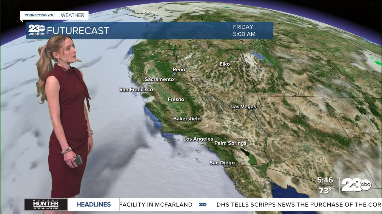


Happy Friday! Widespread heat is likely this afternoon and through the extended forecast. Monsoonal moisture pushes in and brings isolated thunderstorm chances on Monday.
Expect to feel a noticeable difference in heat this afternoon. Widespread triple digit heat is expected in the valley, KRV, and desert. Bakersfield has a forecast high of 103 on Friday, Kernville has a forecast high of 102, and Ridgecrest will be around 110.
Eastern Kern has another windy afternoon ahead. A Lake Wind Advisory remains active for Lake Isabella through 11 p.m. Friday. Gusts up to 40 mph are possible for parts of the KRV and desert. This, plus the heat, means elevated fire danger for much of the eastern half of Kern County.
This weekend we see a shift in our moisture forecast. Monsoonal moisture from the south begins to flow in late Saturday. The first thing we'll notice is likely some high level clouds this weekend, and an improvement in humidity values.
On Monday, many of our high elevation towns have a 20% chance for a passing shower or isolated thunderstorm. This is due to the introduction of that warm and moist air. Forecast models are still not in complete agreement on the exact timeline, though it chances look to exist late Sunday night into Monday morning. This could fluctuate.
The big takeaway is it will be hot for the next several days—7 at least. Stay hydrated, avoid outdoor exercise during peak heat, and never leave children or pets in the car.
Stay in Touch with Us Anytime, Anywhere: