

After a very busy weekend, our weather has finally calmed down Sunday evening.
Between Thursday night and Sunday Bakersfield picked up 1.46" of rain.
1.23" fell on Saturday alone!
Parts of Kern saw over 3" of rain through the weekend, and flooding impacts were widespread, especially on Saturday.
Now more rain is on the way.
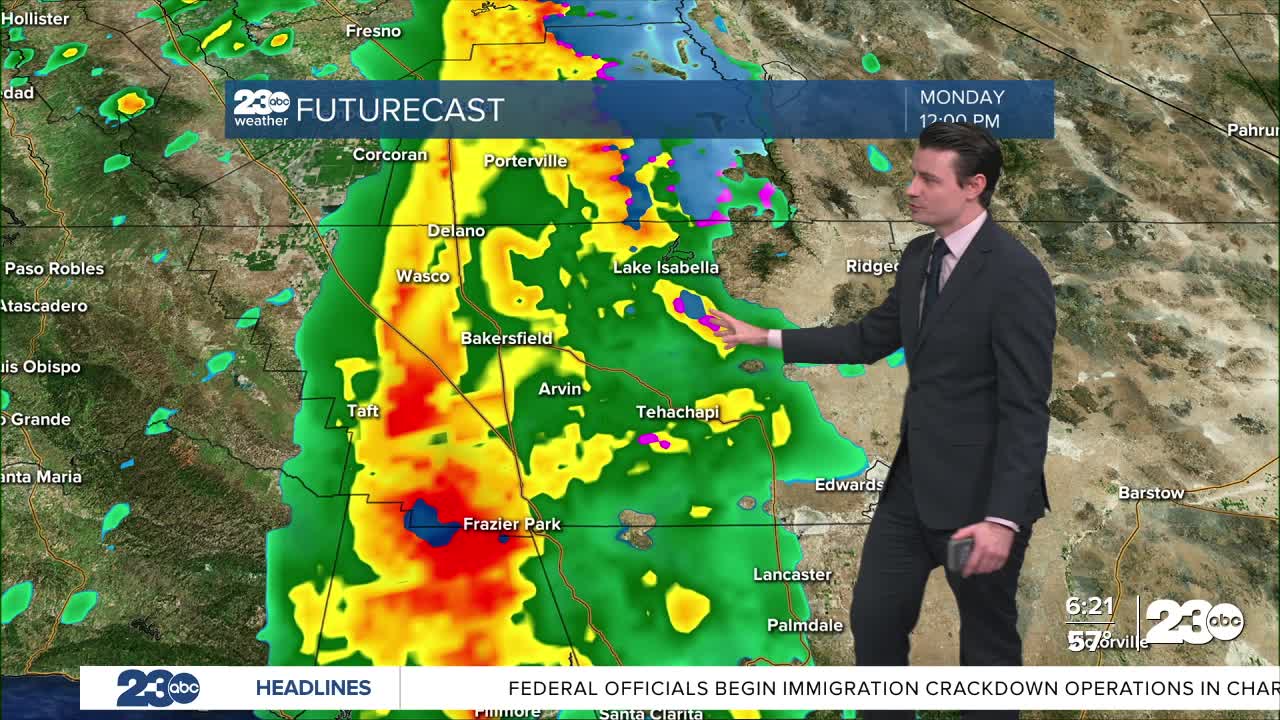
A storm system will move through Kern County on Monday.
A heavy band of rain will move into far western Kern Monday morning, with Bakersfield seeing its heaviest rain in the late morning to early afternoon.
The band of rain will exit by Monday evening, but will be followed by lingering scattered showers off and on into Tuesday.
It may even be cold enough for a few snowflakes over the passes Monday night!
No accumulation is expected at pass level, but areas about 5,000 feet could get an inch or two.
As far as rain totals are concerned 0.33" to 0.66" is expected in the Valley, with higher totals of 0.50" to 1.00" in the mountains.
Desert areas will see less, up to 0.33".
Gusty winds are also expected early Monday in the south mountains, with gusts blowing into the Valley.
A Flood Watch is in effect for the Sierra Nevada foothills and the Kern River Valley through 4 PM Monday.
Additional rain-related impacts are possible, but flooding is not likely to be as widespread or severe as it was over the weekend.
Stay in Touch with Us Anytime, Anywhere: