We've got a lot going on over the next 7 days.
First off, a mild weekend.
Valley highs will be in the mid 60s to around 70 degrees, with partly to mostly cloudy skies.
It'll be a little gloomy, but the clouds should help keep the fog away.
Even warmer weather is expected Monday and Tuesday.
Monday's record high in Bakersfield is 74°, and that's at risk of being broken, as long as any fog that forms clears quickly.
Even mountain areas will be well into the 60s early next week!
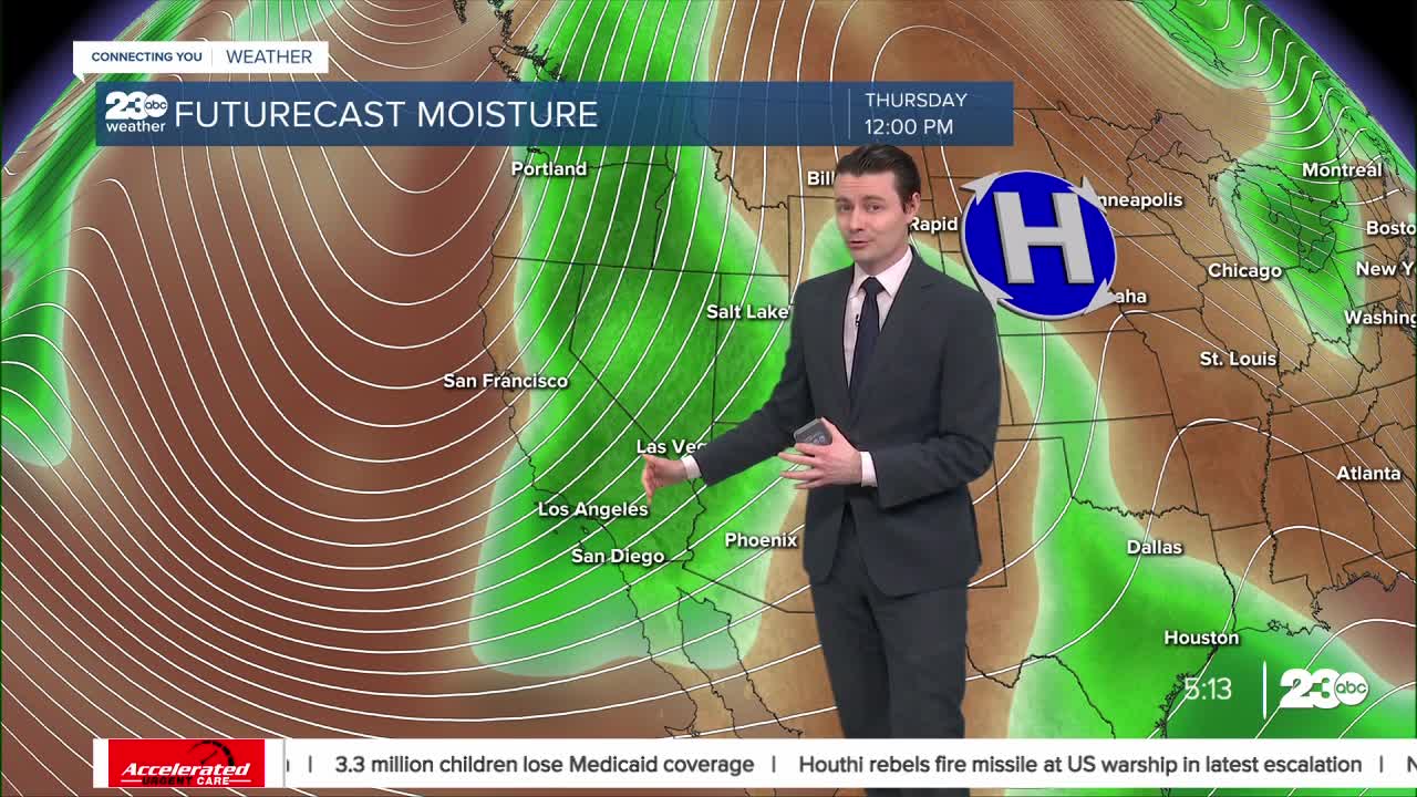
Our weather will become much more active later in the week, though.
Models are in agreement on a strong atmospheric river sending rain to pretty much all of California.
Rain is looking very likely here in Kern, and the potential is there for heavy rain and snow.
Things like rain amounts and snow levels will depend on the timing and exact track of the storm system, so while it's too early for a detailed forecast, we can expect a good round of rain and snow in Kern late next week.
We'll continue to track the storm through the weekend and keep you updated as it draws closer.
Stay in Touch with Us Anytime, Anywhere:


