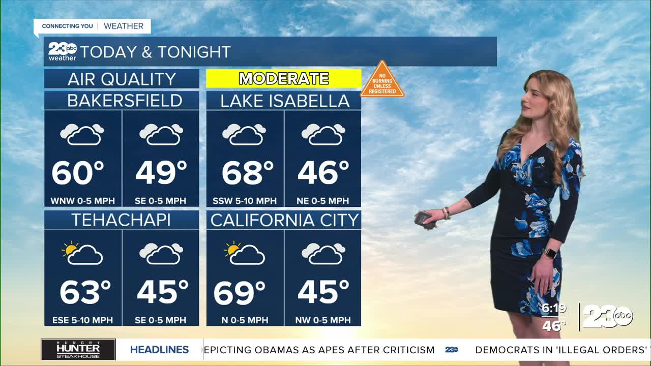
Good morning and happy Monday, Kern County.
We're entering into a fairly active weather pattern this week after weeks of calm. Two storm systems are on deck for this week: the first set to arrive Tuesday and Wednesday, the second on track for Sunday through early next week.
Before we get to the active weather, we have a familiar sight this morning: Fog. A Dense Fog Advisory is active for the south end of the San Joaquin Valley, including Delano and Wasco, until 11 a.m.
Despite that fog advisory for the valley, we are seeing fog in parts of the KRV and Tehachapi area this morning. Patchy fog is possible through the late morning, so make sure your headlights are on, remove distractions, and keep a safe following distance.
Now, let's talk about the storm. Clouds build in through the day Monday as the storm gets closer to California. The timeline for rain looks to be Tuesday through Wednesday, with the heaviest band of rain likely arriving late Tuesday overnight into Wednesday.
There is also high confidence for gusty winds on Tuesday as the storm arrives. The desert and mountains can expect strong gusts Tuesday afternoon. We're keeping an eye on the National Weather Service to see if they will issue a wind advisory, but as of Monday morning, there is not one.
Rain totals don't look very significant, with most places in the valley on track to receive up to 0.25" by Wednesday night. Locally higher totals could be possible in the south mountains, up to 0.75".
There is snow associated with the midweek storm, but it is above pass level. A Winter Weather Advisory is active for the Sierra Nevada above 6,000' from 10 p.m. Monday through 4 p.m. Wednesday. Peaks above 6,000' could receive up to 10 inches of snow, and higher totals are possible above 7,000'.
Stay in Touch with Us Anytime, Anywhere:


