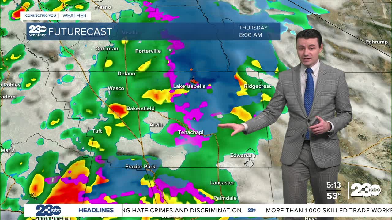


One more round of rain and snow is on the way.
Precipitation is expected to move into Kern County by Thursday morning.
Initially, the rain and snow will be widespread, but by the late morning rain will become more scattered in nature, with scattered showers and the occasional thunderstorm lingering through the afternoon and into the early evening.
Snow levels will start out fairly low Thursday morning, in the 2,500 to 3,000 foot range, meaning snow over the passes will be possible for the morning commute.
Accumulations up to an inch or two will be possible.
Snow levels will rise through the morning, peaking around 4,500 feet by the afternoon.
That means a mix of rain and snow will be possible over the passes, but areas above 4,500 feet will see all snow from this next round, with several inches of accumulation possible.
Snow levels fall back to around 3,000 feet by Thursday evening, so another shot of snow over the passes is possible around the evening commute, with another inch or two possible.
Rain and snow will wind down Thursday night, and Friday is expected to be dry.
Stay in Touch with Us Anytime, Anywhere: