

Rain is on the way!
We've seen some changes in the forecast over the past 24 hours, though.
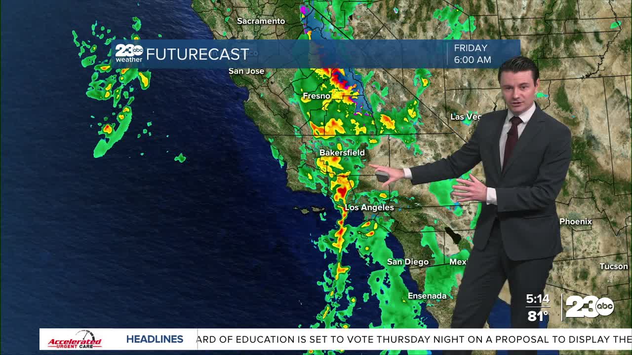
Primarily, the latest data is trending toward LESS rain Thursday and Friday and MORE rain for Saturday.
We're still expecting a band of rain to move into Kern County late Thursday night into early Friday, but I've bumped rain totals down a bit.
I'm forecasting 0.25" to 0.50" for the Valley, but the south mountains could still see an inch of rain.
Lingering showers and possible through the day Friday, but most of the heavy rain will fall early in the day.
Rain will start up again late Friday night and last into Saturday.
This second band of rain is looking heavier, with 0.50" to 1.00" of rain possible in the Valley.
Between Thursday and Friday rain totals between 0.75" and 2.00" are likely for most of Kern.
With the potential for high totals, the National Weather Service has issued a Flood Watch for our mountain and desert communities.
Things like runoff flooding, rock and mudslides will be possible.
Besides the rain, we're also likely to see gusty winds in the Valley and the valley-side slopes on Thursday, with gusts over 30 miles per hour possible.
Temperatures will be much cooler by Friday as well!
Stay in Touch with Us Anytime, Anywhere:

