

Rain is back in the forecast!
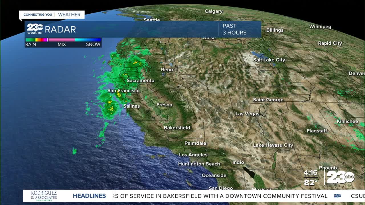
Rain is already falling in many parts of Northern California Monday, but here in Kern County we'll stay dry until Tuesday.
The first showers will pop up in western Kern Tuesday morning, with showers becoming more widespread in the late morning and afternoon hours, before winding down Tuesday evening.
Rain will not be constant, on and off showers are expected, with a few thunderstorms possible, too.
Rain totals are not expected to be all that high, around 0.10" to 0.25" for most, but areas that have thunderstorms move through could see locally higher totals.
Rain isn't the only change in the forecast, though.
The incoming rain will fall along a cold front, which will also bring cooler temperatures and stronger winds.
Highs will be in 60s and 70s for most on Tuesday, with some mountain towns failing to reach 60°.
Winds will breezy countywide as the cold front moves through, but strongest winds will be in the Kern Desert, where a wind advisory is in effect for Tuesday night and Wednesday.
Stay in Touch with Us Anytime, Anywhere: