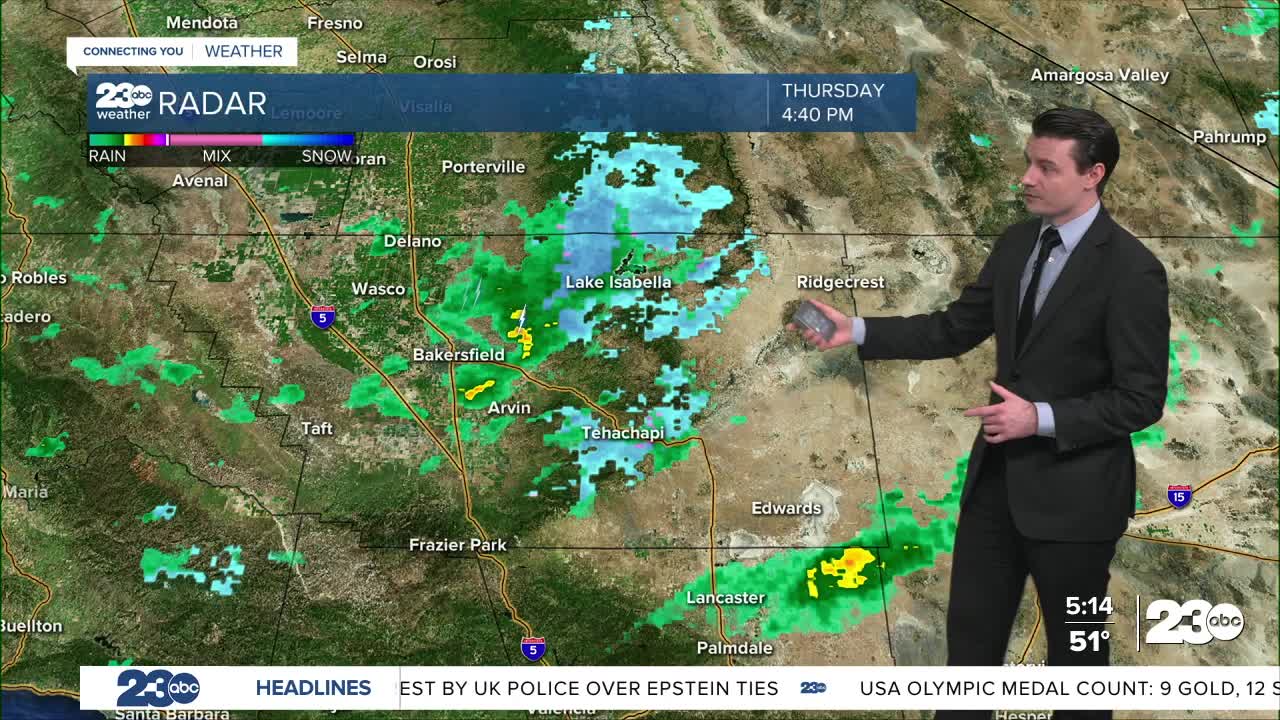


The last wave of rain and snow is moving through Kern County Thursday evening.
Temperatures will be falling quickly after sunset, and accumulating snow over the passes, especially Highway 58, could lead to some traffic issues.
Several spinouts were already reported early Thursday evening.
Mountain snow is expected to wind down around midnight.
Temperatures will fall below freezing for nearly all of Kern by Friday morning, so any wet or snow-covered roads could become icy.
The Bakersfield area has the best chance to stay above freezing.
Friday is looking like a dry, but gloomy day and clearing skies Friday night will set us up for more cold temperatures Saturday morning.
A Freeze Watch is in effect for the entire San Joaquin Valley given the potential for sub-freezing lows.
Stay in Touch with Us Anytime, Anywhere: