

Our holiday week storm brought widespread rain to our communities, especially on Wednesday.
Bakersfield set a new single-day rainfall record on Wednesday, receiving 0.97" of rain. Preliminary rainfall reports show around 4 inches of rain fell near Frazier Park between Tuesday night and Wednesday.
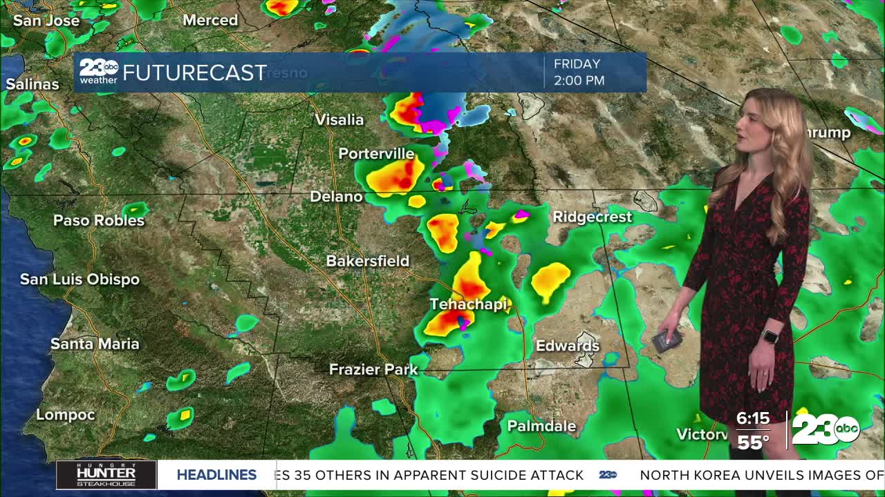
Thanks to the heavy rainfall earlier this week, even though the rain is a lot more scattered on Friday, we still remain under a flood watch through Friday night.
The big takeaway for Friday is the rain will be less widespread. Scattered showers and minor thunderstorm chances remain through Friday afternoon. Watch out for wet roadways and a chance for localized flooding.
Again, thanks to the heavy rain earlier this week, additional rainfall onto the freshly saturated ground could cause potential runoff, rockslides, and other flooding concerns.
On the tail end of the storm system, by Friday night, temperatures will be much cooler. We're seeing snow levels drop to as low as 4,500', meaning there's a chance for snowflakes in our mountain towns. Accumulating snow is not expected on the mountain passes, though the cold temperatures could mean an icy start to Saturday.
Rain chances dry up this weekend. We're keeping an eye on another storm system to begin the new year next week.
Stay in Touch with Us Anytime, Anywhere: