



Good morning!
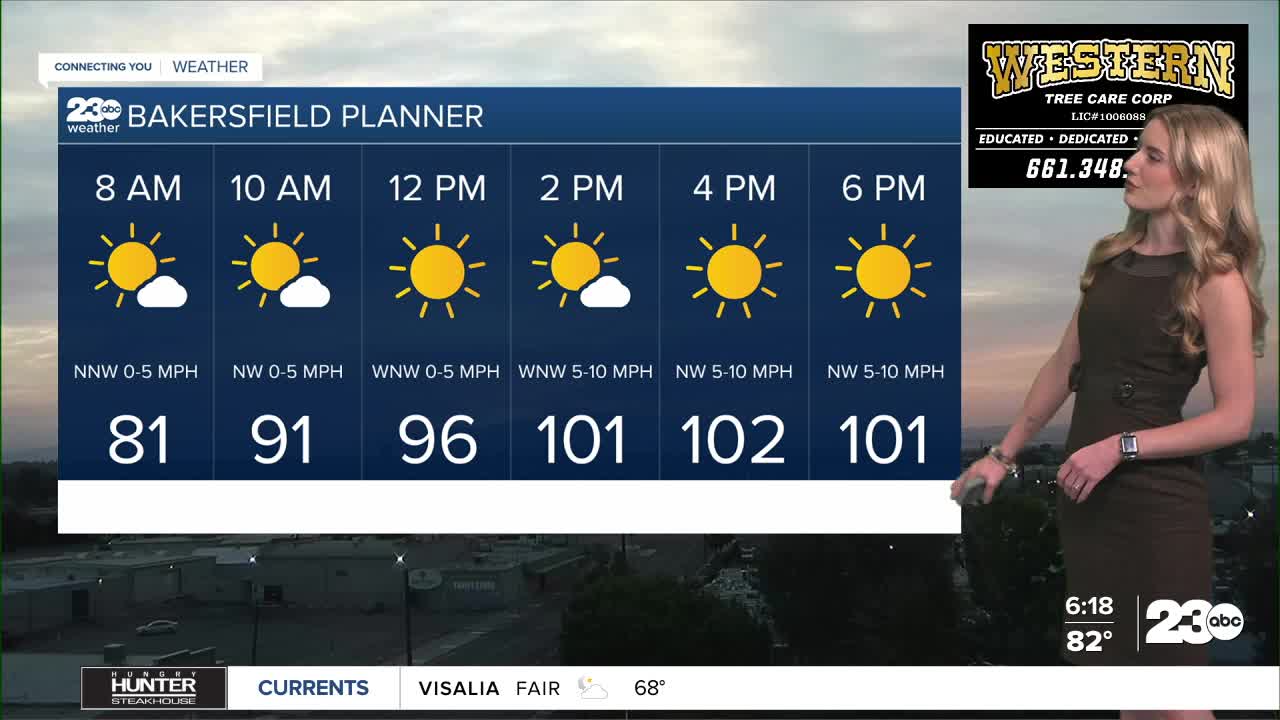
Our latest heat wave here in Bakersfield is now 13 days long, meaning we've been at or above 100 degrees for 13 consecutive days. Today, Tuesday, will likely make day 14.
Bakersfield has a forecast high of 104 on Tuesday. Many communities will stay in triple digits, and expect 90s in the mountains.
After today, though, our weather pattern is changing!
The strong high pressure ridge that's kept us hot for nearly two weeks straight is beginning to move off to the east today. As that happens, its clockwise flow will briefly draw in moisture from the south into central California.
The influx of moisture Tuesday and Wednesday will bring more cloud coverage and minor rain chances in the high elevation towns.
The high peaks of the Sierra Nevada could get thunderstorms over the next 48 hours. Locally in Kern, areas like Pine Mountain Club and Frazier Park have a minor chance for scattered light rain on Tuesday afternoon. Watch the skies before heading out the door in the mountains.
Stay in Touch with Us Anytime, Anywhere:
