

Happy Thursday, Kern County. A storm is passing through central California today, and we're anticipating strong winds, fog, and light precipitation.
Fog formed over the Tehachapi pass, and the Tehachapi Unified School District has a 2 hour fog delay.
Mountain and desert neighborhoods remain under wind alerts through 8:00 p.m. Thursday. Gusts as high as 50 mph are possible, especially in the early half of the day. Winds will make temperatures feel cooler, so bundle up in the mountains.
Wind chills as low as 20 degrees were observed in the Tehachapi area Thursday morning.
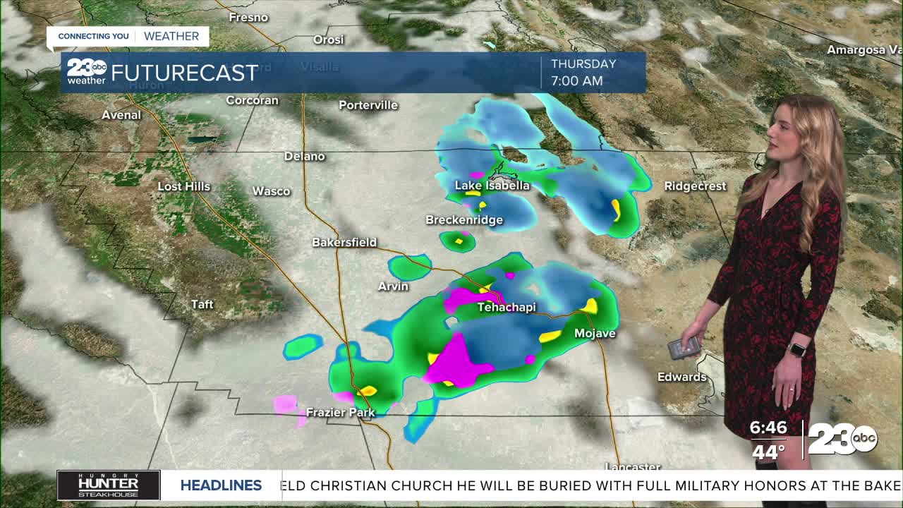
Now, let's talk rain and snow. A winter weather advisory was issued last night for Tehachapi, Lebec and the Tejon Pass on the I-5. Gusty winds coupled with the chance for mixing rain and snow on Thursday morning could make for slick roadways and poor visibility. A dusting of snow is possible along our mountain passes, so again, drive with caution.
Passing light showers are also possible in the valley, so give yourself extra time while traveling this morning.
The best chance for passing rain and snow showers is Thursday morning. Conditions begin to calm through the afternoon and evening.
After today, our focus shifts to fog. High pressure builds back in this weekend which brings fog chances back into the valley forecast.
Stay in Touch with Us Anytime, Anywhere: