

In our Wednesday forecast, temperatures stay a touch above average into the afternoon. Most neighborhoods will be in the 70s and 80s, but some spots will be around 90 degrees in the valley and Indian Wells Valley.
The good news is after today temperatures begin to cool. It will feel much cooler this weekend, and afternoon highs will be in the 60s and 70s by Saturday.
As the cool air arrives, we expect winds to increase, especially in the mountain and desert towns. Plus, we do have minor rain and storm chances in east Kern Thursday and Friday.
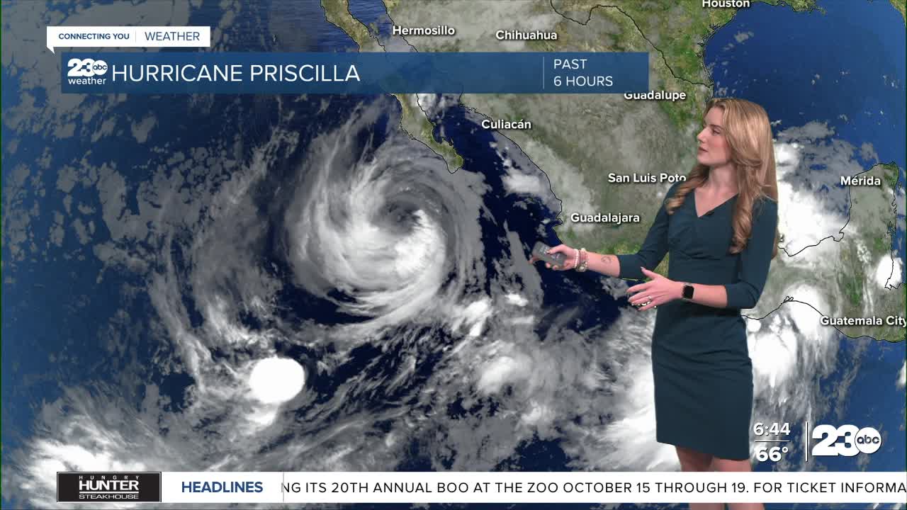
The reason? An influx of tropical moisture from hurricane Priscilla. That storm is not expected to make landfall in California, but the remnants of moisture will be drawn into the state, mainly to our south. Minor rain and thunderstorm chances exist Thursday and Friday for Kern's mountain and desert neighborhoods, but again, most of the rain will stay outside of the county.
Something helping keep the moisture isolated to the desert southwest is actually the same low pressure system that's responsible for our weekend cool down. As the low pressure slides down into the Pacific Northwest, its position will help to essentially "push" the tropical moisture to the east.
Stay in Touch with Us Anytime, Anywhere: