

Good morning! Hot afternoons remain in the forecast for the rest of the week. The Heat Advisory across the San Joaquin Valley is active through Thursday night.
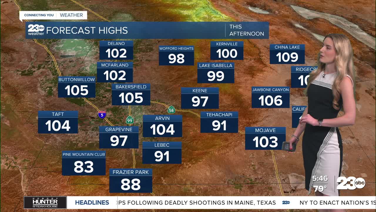
Strong high pressure remains in control of our weather as it heats up the Golden State. Bakersfield hit 104 yesterday, and we have a forecast high of 105 for Wednesday.
Many communities will be near or above 100 degrees on Wednesday. Lake Isabella has a forecast high of 100, Tehachapi will be near 90, and widespread triple digits will be felt in the desert. The hottest temps are in the Indian Wells Valley as they near 110.
In addition to the high pressure felt locally, we're monitoring a system up in the Pacific Northwest. Unfortunately, it won't cool us off, but its proximity to the high pressure system to the east of us will cause gusty winds in some of our wind-prone areas locally.
Wednesday and Thursday will likely be breezy in the mountains and desert, with locally stronger gusts possible along the Mojave Desert Slopes. So far, no wind alerts have been issued, but the heat with the wind could raise our fire danger the next couple of days.
Stay in Touch with Us Anytime, Anywhere: