

Several rounds of rain and snow are on the way.
The first significant impact we'll see in Kern is actually not rain, but wind.
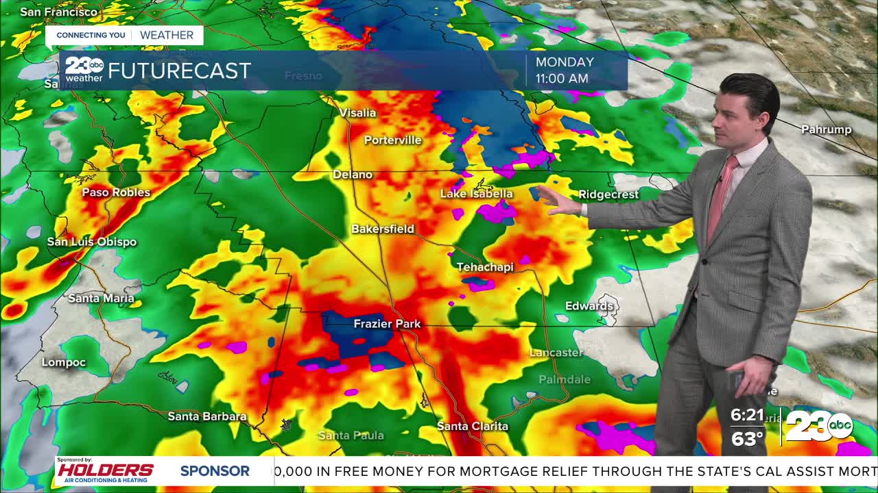
Winds will pick up starting Monday morning, and peak for most in the late morning to early afternoon.
Widespread gusts over 40 miles per hour are likely across Kern County, and wind prone areas, like the Grapevine and the very southern end of the Valley are likely to see gusts exceeding 60 miles per hour.
Blowing dust and debris, difficult travel for high profile vehicles, tree damage, and power outages will all be possible Monday.
Winds will begin to lessen as a band of rain moves in.
In Bakersfield that band of rain is expected to arrive in the late morning to early afternoon.
Behind the main band of rain additional showers and even a few weak thunderstorms will be possible.
Another shot of rain is likely Tuesday afternoon into Tuesday night.
A third round of rain will be possible Wednesday into Thursday, but the track and timing of that third system is less clear at this time.
Through Monday and Tuesday rain totals of 0.50" to 1.00", with higher totals possible in the foothills.
No flood alerts are in effect at this time, but localized heavy rain impacts like minor flooding and rock slides are possible.
Mountain areas will also be seeing snow along with the rain.
Snow levels will start our fairly high, around 6,000 feet, but will drop to near pass level by Monday night.
Significant accumulations at pass level don't look all that likely Monday night, but it could still be enough for travel delays.
By Tuesday night snowflakes could fall as low as Lake Isabella, and an inch or two of accumulating snow at pass level looks likely.
Significant delays or even closures of the passes will be possible Tuesday night into Wednesday morning.
Between Monday and Tuesday areas above 5,000 feet could pick up over a foot of snow.
Additional snow will be possible Wednesday into Thursday, but as previously mentioned the forecast for this round of precipitation is not as clear.
Stay in Touch with Us Anytime, Anywhere: