

Heat continues to build across California. Bakersfield will likely warm into the triple digits on Thursday with a forecast high of 102.
That's not the peak of the heat, though. We expect our hottest temperatures of the year by Friday, and an extreme heat warning Friday and Saturday. The forecast high for Friday is 107, only two degrees cooler than the record high for that date. (Aug 22, 1919 set the record high temp of 109).
Outside of Bakersfield, heat is still the major story. The Kern County Desert has an extreme heat warning Thursday through Sunday morning, and afternoon highs hover around 110.
The Kern River Valley and north valley, near Delano, is under a heat advisory Friday and Saturday, and afternoon highs hover around 105.
The best advice for protecting yourself during extreme heat is to keep yourself hydrated with water, or even mix in some electrolytes, wear light clothing, stay inside or in AC as much as you can.
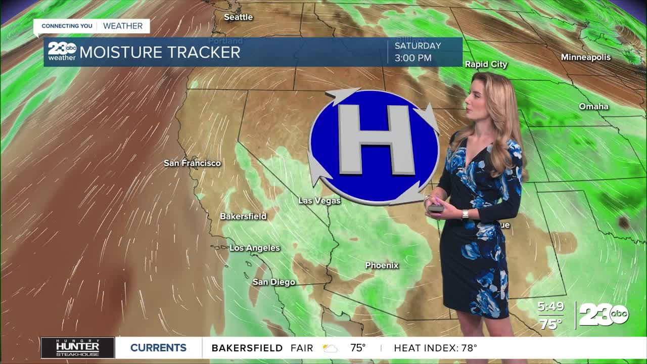
In addition to heat, high fire danger remains, and we introduce monsoonal moisture this weekend. Essentially, that means we have minor rain and thunderstorm chances this weekend.
The best chance for scattered rain and/or thunderstorms is in the mountains. The biggest threat with possible thunderstorms is the danger of lightning sparking a fire. A red flag warning remains active in the south mountains through Saturday.
Stay in Touch with Us Anytime, Anywhere:
