

Good morning and happy Monday, Kern County. Warm, above-average temperatures hang on Monday afternoon, but big changes arrive as soon as tomorrow.
70s and 80s will be felt county-wide on Monday. Breezy west winds arrive this afternoon as a storm system gets closer to Kern.
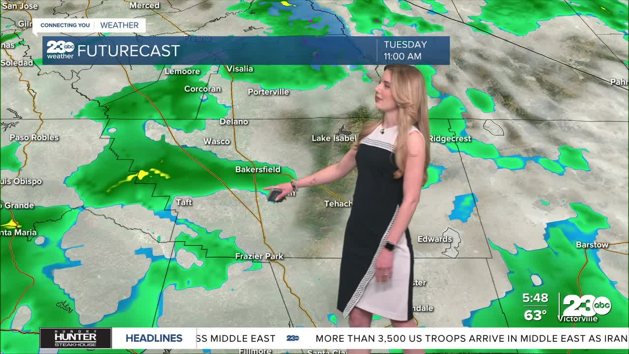
That storm system is set to cool us off and bring rain into the forecast by Tuesday. We don't expect significant rain totals from this, but scattered light rain is anticipated to start late morning on Tuesday and hang on into Tuesday night.
Again, showers will be scattered. It's enough rain that you may want to grab an umbrella on your way out the door Tuesday morning. Bakersfield could see up to a tenth of an inch of rain.
The biggest impact from this storm will be the cool down. Bakersfield will be in the 80s on Monday, but will drop to the low-70s for most of the work week.
Mountain towns will cool to the upper-50s by Wednesday, and the KRV will be in the 60s. Even the desert will cool off, with most of east Kern in the low-70s.
Also in the mountains and desert, expect strong winds this week as the storm moves through central California.
Stay in Touch with Us Anytime, Anywhere:
