

Happy Monday, Kern County. Temperatures warmed up steadily through the weekend, and we expect a similar start to this week.
Slight high pressure keeps conditions calm and temps a touch above average Monday. The only drawback to this high pressure influence is the chance for patchy fog on your morning commute, plus hazy skies into the afternoon.
We do not have any fog advisories in effect, but there is a chance for patchy fog Monday morning. Take it slow, use your low beams, and maintain that safe following distance if you encounter any fog.
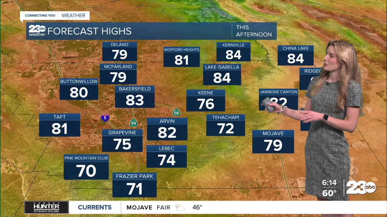
Monday's afternoon high temperatures will be in the low-to-mid-80s for the valley, KRV and desert, and low-70s in the mountains. Calm winds are expected into the day, with breezy spots possible in the mountains.
Into the extended forecast, we're keeping an eye on an area of low pressure slowly moving up the coast. By Wednesday, that system is set to increase winds for east Kern. The high sierra has a chance for rain from that system, too, but impacts in Kern look minimal. The Kern River Valley has a 10% chance for rain Wednesday.
Finally, in the very extended forecast, we're monitoring what could be an atmospheric river this weekend. Extended model data is subject to change as we get closer to the weekend, but as of Monday morning, there is a 20% chance for rain on Sunday, with temperatures expected to cool this weekend.
Stay in Touch with Us Anytime, Anywhere: