

Good morning and happy Monday, Kern County. Temperatures stay above average for the first half of the week before our weather pattern shifts heading into next weekend.
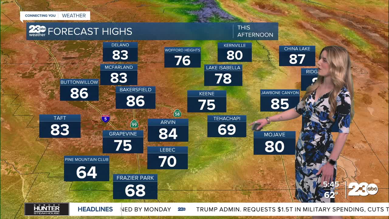
Expect a cloudy start to Monday with mild temperatures here in town. Bakersfield is in the low-60s as you're waking up. Clouds break apart into the afternoon, allowing the sun to heat us up. Our forecast high in Bakersfield is 86 degrees on Monday, much warmer than our seasonal average of 74 for this time of year.
Mountain and desert towns have a breezy afternoon ahead. West to northwest winds will pick up through the later part of the afternoon, gusting 25-30 mph near Tehachapi, Mojave, and Lake Isabella.
Temperatures in the mountain towns will be in the upper-60s on Monday. The Kern River Valley will be in the upper-70s, and the desert will be in the 80s.
We're monitoring a storm system that looks to arrive Friday into Saturday. The track of that storm is set to draw some tropical moisture in from the south which could bring a chance for thunderstorms on Saturday. We'll keep you posted on the timing as it gets closer.
Now that we're inching closer to summer, it's the time to keep fire safety and prevention top of mind. Create defensible space around your home by clearing brush, have a go-bag ready, and, of course, follow any burning restrictions in your community.
Stay in Touch with Us Anytime, Anywhere: