

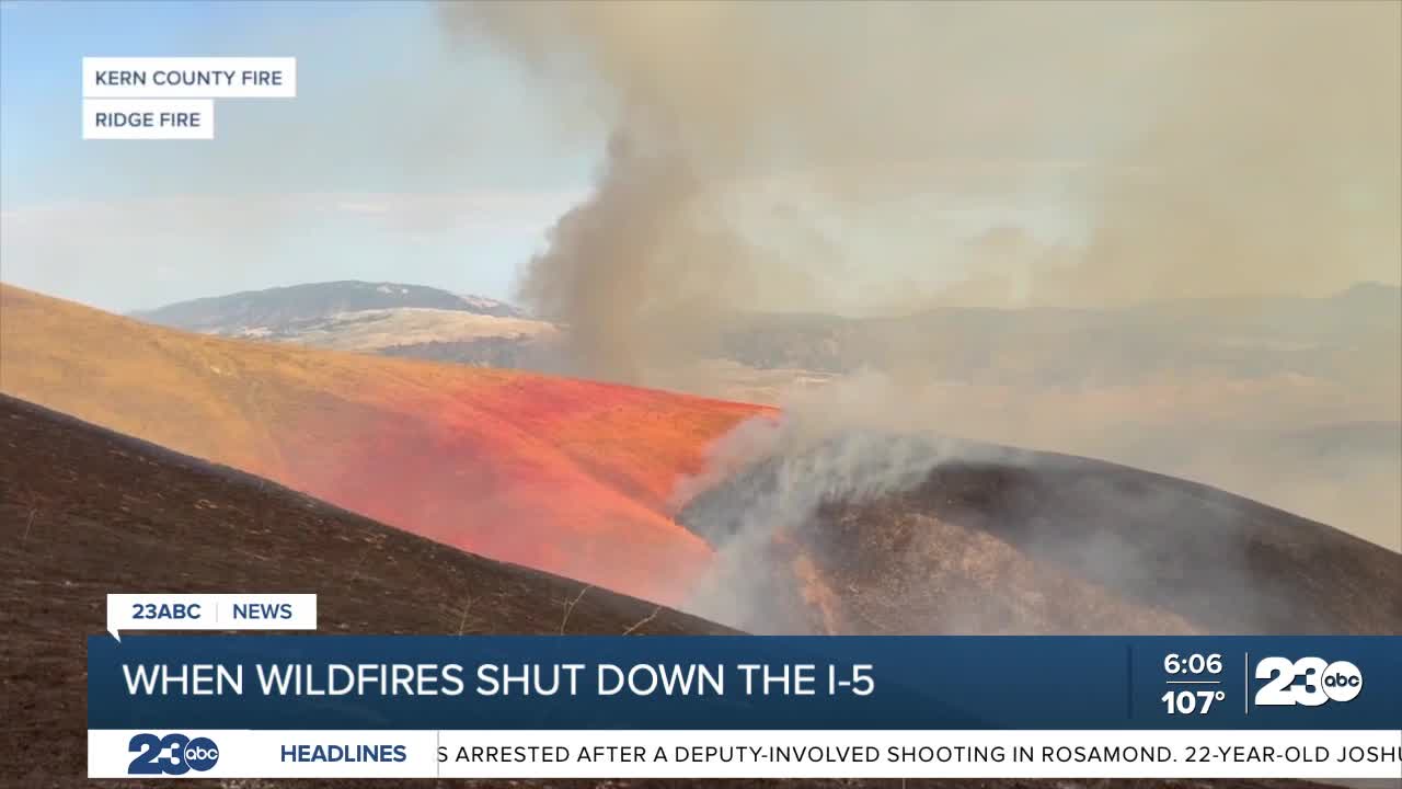


FRAZIER PARK, Calif. (KERO) — Two wildfires within days of each other turned a major travel corridor near the Grapevine into a roadblock, prompting lane and full freeway closures on Interstate 5.
The Buzzard Fire began Wednesday after a vehicle fire spread into nearby vegetation, forcing a southbound lane of Interstate 5 to close. Then Friday, the Ridge Fire near Gorman crossed the freeway, prompting a full shutdown in both directions.
An anonymous resident described the limited options drivers faced.
"There's really no way to get off and go on a different road or side road or fire road. So you're—you're stuck. You're just stuck."
He explained how it can be unsafe for drivers as people are often making risky decisions to get to their destination sooner. That then leads to more accidents.
Smoke from the Ridge Fire crossing the freeway made it unsafe for traffic to continue. CHP worked with firefighters and Caltrans to establish closures, keep emergency access clear and redirect southbound drivers at Frazier Mountain Park Road.
CHP said shutting down the freeway is never a decision made lightly.
"But that's the very last thing we want to do, is shut down the freeway. So when we do shut it down, it's not for any small reason. It's a big deal. It's a really big deal."
Even with traffic stopped, the work behind the barricades continued. Officers faced pressure from drivers demanding answers about when the road would reopen.
"Sometimes it's hot, it's stressful. You know, everybody's asking, 'Hey, when's the freeway gonna open?' And a lot of times we don't have those answers. You know, it's just whenever it's safe to do so."
For residents like those living in Pine Mountain Club, closures can mean choosing between waiting in place or taking a long, unfamiliar route through the mountains.
"And that takes anywhere from two hours to four hours to get that done. But at least you're moving, you know, and that's the only takeaway from this."
CHP warns that trying to drive around a barricade puts motorists in danger and pulls limited resources away from the emergency. Officers recommend checking current conditions before leaving and preparing for the possibility that the fastest route may not be the safest one.
The resident offered a warning to anyone traveling through fire-prone areas.
"Just be prepared and look ahead, especially in fire season, because if you're on the freeway, it just takes a spark out here. It's so dry, and then you've got a big fire going."
