BAKERSFIELD, Calif. — While we once again have the recipe for patchy valley fog this morning, a cold front sweeping over Northern California is mixing things up, with passing clouds and cool breezes keeping that widespread dense fog from forming.
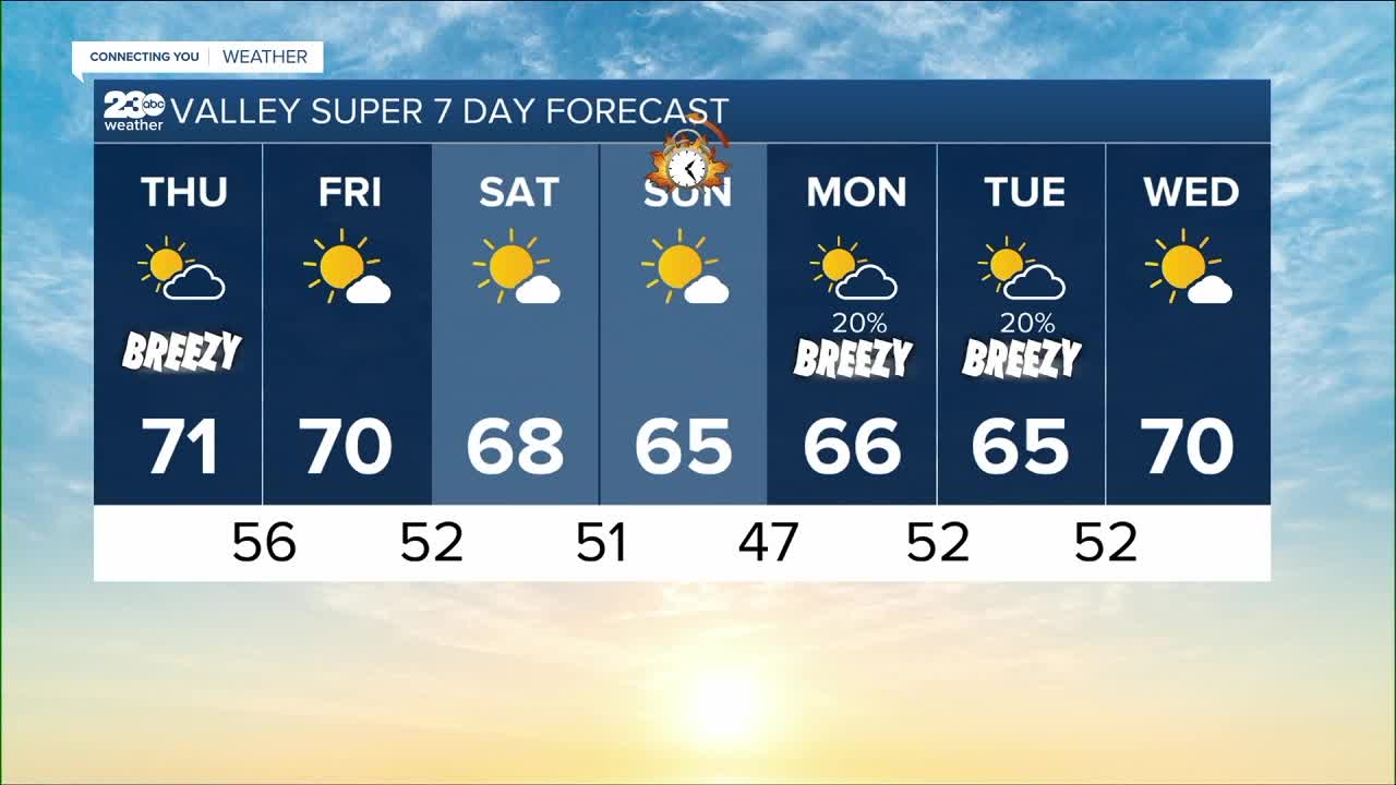
As that front moves in, unfortunately it falls apart over Kern County later today, so we don't get rain this far south. We will enjoy an improvement in our air quality and see seasonal afternoon highs with low 70s for the valley and the Kern River Valley today, while the south mountains see mid-60s this afternoon, with a range of 70s and a couple 80s popping up this afternoon in the Kern Desert.
Clouds banked up against the mountains overnight may bring some sprinkles to the base of the passes, but those clouds are breaking apart and clearing out tomorrow morning. We're then enjoying a westerly flow tomorrow to bring more sunshine and more mild low 70s for your Friday.
We'll stay mild through Saturday, but another cold front looks to move in and fall apart that afternoon into the evening hours. So as a result enjoy passing clouds and seasonal highs through the weekend.
Another upper level trough looks to take aim at Central California Monday into Tuesday, and while this one has the best chance to bring showers to Kern County, it's not looking like a good organized chance of accumulating rain.
The rest of next week is then mild with more high passing clouds and seasonal afternoon highs. Any morning that is clear and calm could bring the chance for patchy fog development.
Find me on social media to share your weather photos and storm reports!
www.Facebook.com/ElainaRusk.23ABC
www.Instagram.com/ElainaRusk
www.Twitter.com/Elaina23ABC


