

Happy Wednesday, Kern County. We had a busy day Tuesday as a dust storm blow through Kern.
The dust storm was caused by a cluster of storms to our east, around 100 miles away. The downslope wind from the mountains into the valley, similar to a Santa Ana wind event, heated Bakersfield up to 108 degrees Tuesday.
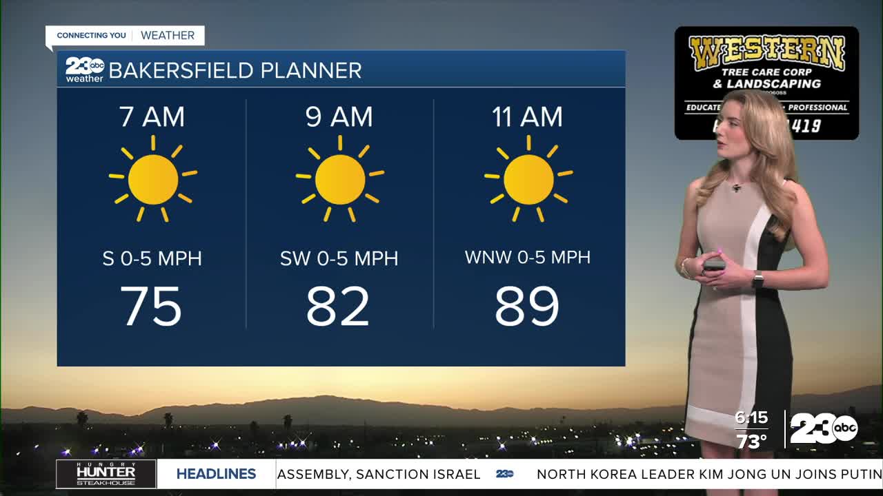
The good news? We do not anticipate another dust storm for Wednesday, nor will temperatures be as hot.
Monsoonal moisture is still likely to flow into California, but most of the rain and storm activity stays outside of Kern. Our mountain and desert neighborhoods have a 20% chance for storms Wednesday afternoon.
The National Weather Service still has an active flood watch through Wednesday evening for eastern Kern County. If any thunderstorms develop Wednesday, they could bring brief periods with heavy rainfall.
Our extended forecast has good news, too. A cooldown is set to take us into the weekend. Bakersfield is on track for low-90s this weekend with overnight lows dropping into the 60s.
Stay in Touch with Us Anytime, Anywhere: