

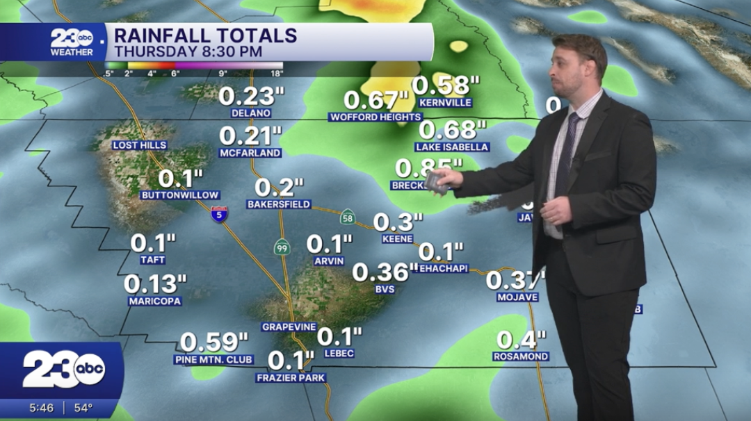


Rain is moving through Kern County today, bringing wet roadways, the possibility of minor flooding and a chance of isolated thunderstorms this afternoon.
The heaviest band of rain is expected to move through Bakersfield between approximately 3 a.m. and 6 a.m. before shifting into the mountains. Additional showers are expected to move through the area on and off throughout the day.
Rainfall totals are forecast to range from approximately 0.33 to 0.66 inches in the Valley. Some areas in the mountains and foothills could see higher totals, potentially exceeding an inch.
The biggest concerns include minor flooding in low-lying areas and locations with poor drainage. Drivers traveling through mountain canyons should also be cautious of rocks that may fall or wash onto roadways.
With wet weather expected throughout the day, drivers are encouraged to slow down, leave extra space between vehicles and remain alert for changing road conditions.
Rain can make roads slick and increase the risk of hydroplaning, which happens when a vehicle's tires lose contact with the road because of standing water. Drivers should avoid sudden braking or sharp turns and reduce their speed when roads are wet.
Motorists should also watch for standing water and possible flooding, particularly in low-lying areas and on roads with poor drainage.
Never attempt to drive through a flooded road. It can be difficult to judge the depth of the water, and even a small amount of moving water can put a vehicle and its occupants in danger.
Drivers should turn around and find another route if they encounter a flooded roadway.
Stay in Touch with Us Anytime, Anywhere:
