

Happy Monday, Kern County. Aside from the clocks changing, we saw little change through the weekend.
We've had a steady weather pattern thanks to high pressure built across the west, but that begins to break down this week. Before it moves to the east, patchy fog chances remain in the early hours in the valley. Then, temperatures for Monday will be above seasonal average, with much of Kern in the 70s and 80s.
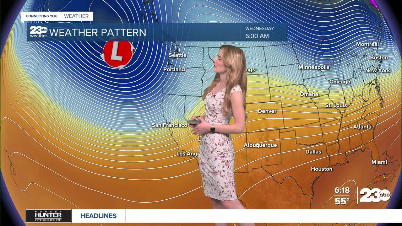
Then, a storm system drops down from the Pacific Northwest on Wednesday. This system's track seems to favor the north, meaning our neighborhoods do not have a significant rain chance. We'll track this system's path over the next 24 hours.
The biggest impacts from Wednesday's system will be cooler temperatures and increased winds. Temperatures are set to cool down Wednesday and Thursday, and gusty winds will likely return to the Mojave Desert Slopes.
Stay in Touch with Us Anytime, Anywhere: