

90º and above has been the usual for us for the past couple of weeks. However, this week is expected to bring us some exceptionally cooler temperatures.
This is because of a low pressure system that’s coming in from the coast.
Today, Bakersfield saw a high of 90º, and after this, temperatures will only drop from here.
Wednesday and Thursday will be our coolest days of the week with a high of 82º, after that it’ll rise a bit up to 87º by the end of the week.
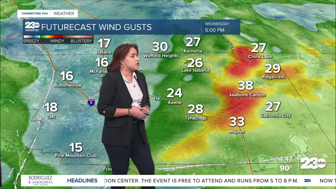
Because of this low pressure system, gustier winds are expected in our mountain and desert communities, up to 40 mph. Temperatures may also feel a bit cooler.
Finally, following the Garnet Fire, air quality is expected to be moderate for us today and tomorrow, not too much of a concern for us.
This is something that we’re tracking due to there being a dense fog advisory for the Sierra Nevada area.
Stay in Touch with Us Anytime, Anywhere: