


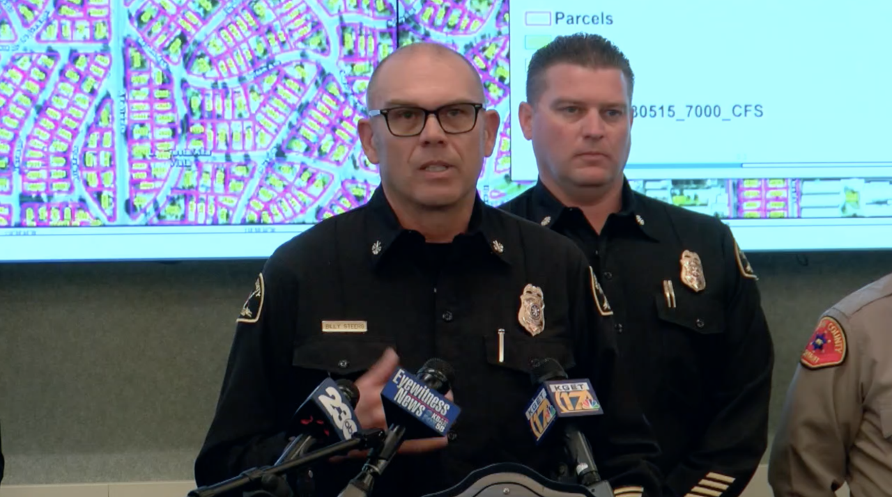
BAKERSFIELD, Calif. (KERO) — The Kern County Fire Department has created new flood maps that aim to identify areas along the Kern River that are susceptible to potential flooding. One of the areas identified as being at risk is in the Northeast Bakersfield neighborhood of Goodmanville, where the river is already encroaching onto residential property.
"We are seeing inundation potentials in Goodmanville, Chocktaw, and around Manor, so we are prioritizing and doing point protections, utilizing sandbags," said Deputy Operations Chief for KCFD Billy Steers.
The flood maps were created using drones that surveyed the river, with crews then physically verifying the information they collected, monitoring as water levels change.
KCFD says it will update the maps and continue to stay ahead of the flows.
"We will continue to work the whole entire stretch of the Kern River as we update the maps," said Steers.
Steers explains that the map is color coded. Blue for real-time conditions, green for projected outflows, and yellow and orange to indicate rising water levels.
"As you go to the yellow and the orange, what that is predicting and representing is up to 2,000 cfs additional added to the river," according to Steers.
The map project comes as the U.S. Army Corps of Engineers is increasing the outflow of the Lake Isabella Dam. On May 17, the outflow of the river is roughly 7,200 cubic feet per second. Officials say they hope to release an average of 7,500 cfs from the dam in the upcoming months.
KCFD says it is closely monitoring at-risk areas to determine if evacuations will be necessary.
"Right now, we have a whole team that is working at management action points and really looking at what is a threshold for evacuations, if needed," said Steers. "All of those are based on life-threat to the community. It may be an isolated handful of homes because they are inundated or water is all around them and it's unsafe to get into their homes."
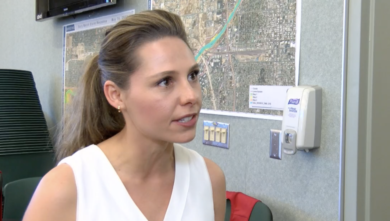
Kern County Chief Communications Officer Ally Soper says the county is also launching a new online dashboard on its website to keep residents informed about flooding and other events that may impact them and their property.
"So this dashboard will hold updated water flow maps, it will hold how to report any road issues that residents may see in their neighborhoods. There will be a place for them to put in their information, sign up for ReadyKern, and really learn how to prepare their properties for flooding. So this will really be a gateway for our residents to access all of this county information in one place."
ReadyKern is an emergency notification system for natural disasters and other crises that may impact Kern County residents.
"I think that it is really important for residents to sign up for ReadyKern. This isn't going to be a link that bombards you, but will only be contacting you if you need to know something in an emergency," said Soper. "This is an excellent tool."
Officials say that regardless of where you live, it is always a good idea to pack a go-bag and practice an escape plan in case you need to evacuate quickly.
IN-DEPTH: PREPARING FOR DISASTER
With the potential for flooding on the rise, it is important for those who may be at risk to have the resources and knowledge prepared and at the ready if and when the waters start to rise.
Taylor Poistall, Regional Communications Director for the American Red Cross, says one of the most important things when it comes to being ready is staying informed.
"Information is power, especially during a disaster, and like we said, taking time now can be very helpful," said Poistall. "So if you are having a disaster like a flood or in the future possibly like a wildfire or a home fire, where is your family going to meet if they have to evacuate? So, predetermining a meeting spot outside the home, having also a second location, maybe it's across town with a family member in an unaffected area."
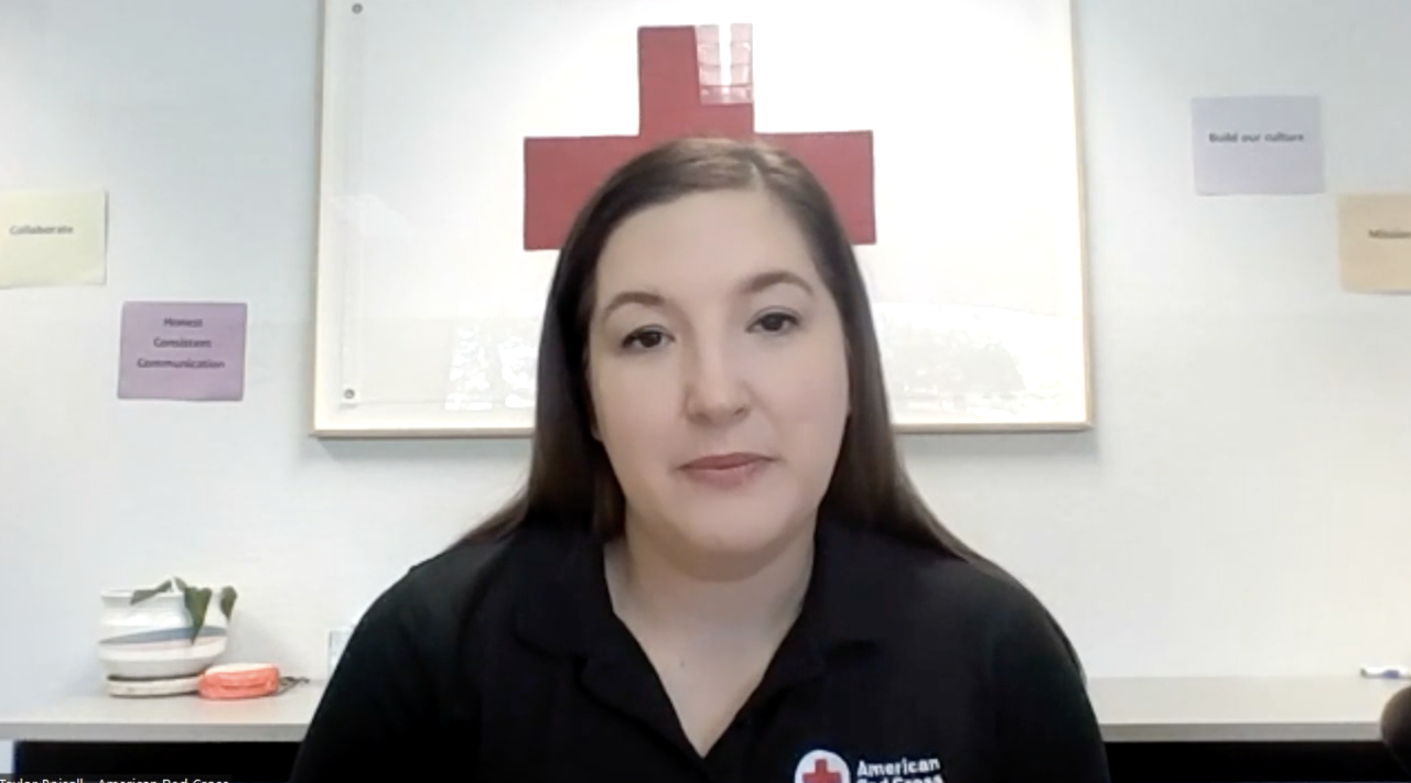
Poistall also recommends families practice their evacuation plan so everyone knows where they are going, what they are taking, and where they are meeting. She also advises people to download the Red Cross Emergency App to get alerts about flooding and other disasters that may be happening in their area.
Poistall also said it's important to remember pets and livestock when creating an evacuation plan.
"Having an emergency kit for your pets is important, whether it's leashes, food bowls, water, toys so that you can take those members of your family with you if you have to evacuate. Pets are welcome at Red Cross shelters, and we partner with local animal agencies like Kern County Animal Services or the Central California Animal Disaster Team so that the pets are sheltered as well in a disaster," said Poistall, "but also identifying nearby hotels that accept pets can also be part of your emergency plan."
Some other tips to keep in mind:
- Turn around, don't drown. Never ever risk driving through a flooded roadway.
- Pay attention to the latest updates from your local news, listen to local radio, and keep an eye on local TV news.
- Sign up for emergency alert apps like ReadyKern and the Red Cross Emergency App. That way, emergency information will come straight to your phone right away.